
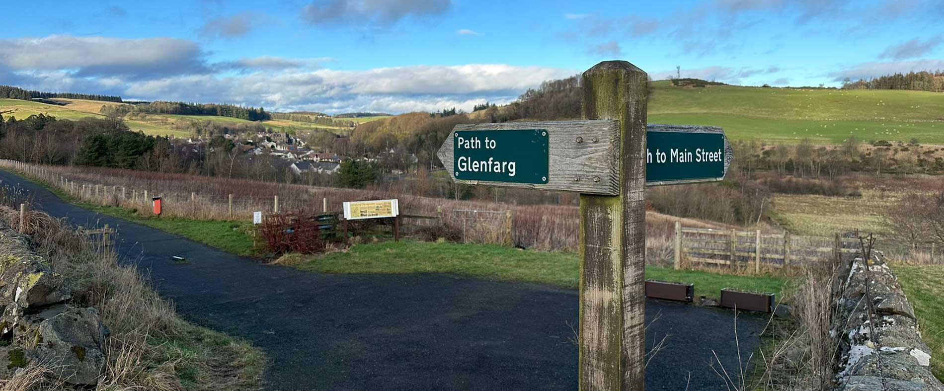
Glenfarg Walking Routes
& Information on Active Travel
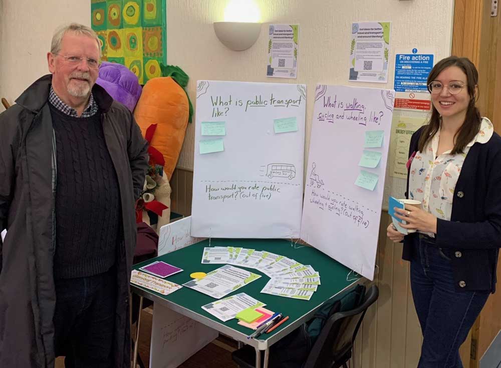
Active travel…
means making journeys physically active – like walking or “wheeling” – which includes cycling, e-biking, scootering, and using a wheelchair.
Glenfarg benefits from its location in the Ochil Hills with several marked walks around the village and has National Cycle Route 775 running through the village. We aim to make active travel the natural choice for shorter journeys in and around Glenfarg.
By supporting more people in Glenfarg to walk, wheel, and cycle for everyday short journeys, we will improve health, create a safer community, and reduce our environmental impacts.
In 2019 seventeen percent of journeys in Scotland were under 1 km, and more than half (54%) were under 5 km – these shorter trips offer a real opportunity for a significant shift to active travel.
In 2023-24, Genfarg will partner with Planning Aid Scotland to develop a plan for Active and Sustainable Travel.
Glenfarg Walking & Cycling Routes
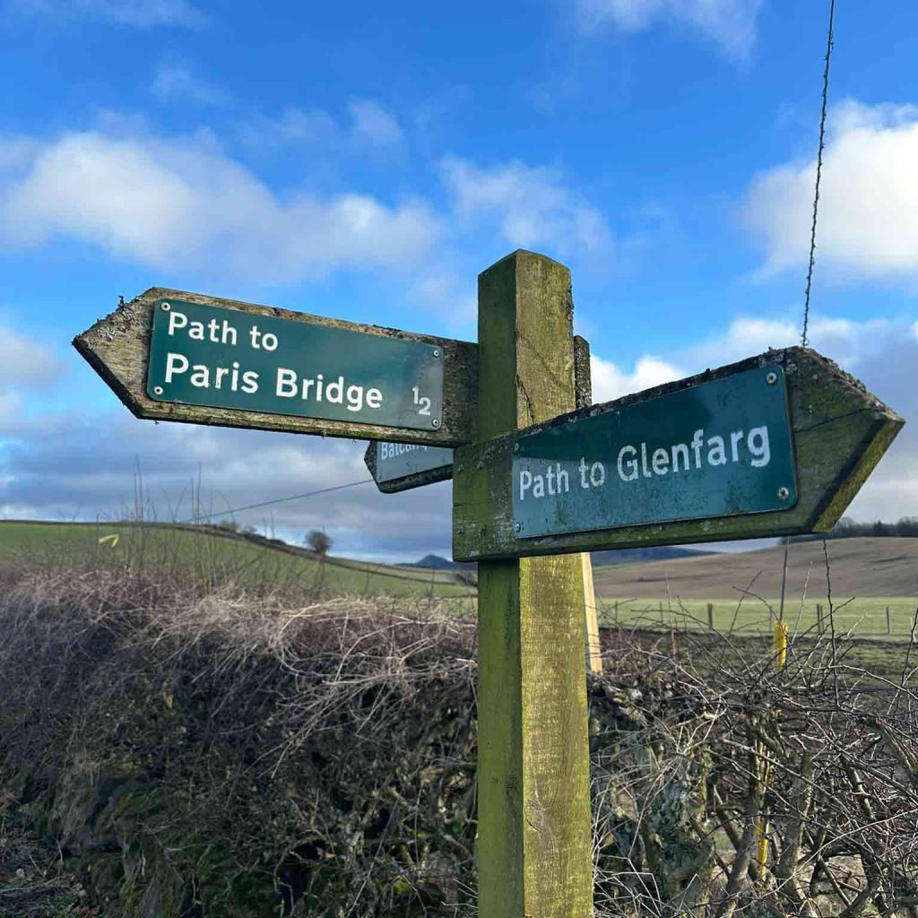
There are a range of routes to be explored, starting and finishing in the village, ranging in length and level of ascent. These routes are suitable for:
Routes suitable for walking
Glenfarg Green & Wallace Park loop
2 miles / 3.2kms Total Ascent: 93ft
From the Village Shop, head east along Ladeside then turn left before you reach the hotel and continue down the steps into Glenfarg Green. Walk over the bridge and explore the garden and pond before exiting the Green on the opposite side by the Village Hall. Head right along Greenbank Road until it meets Main Street, passing the Book Exchange in the red telephone box, located on the corner. Continue onto Main Street from Greenbank Road and turn left after the school, following the path past the Question Mark, providing interesting historical information about the village. Continue along this grassy track until it meets the school playing field, taking in the Glenfarg Orchard on your right. Turn left and follow the path around the field until you reach the gate. Pass through the gate, turning left along the tree-lined track. At the end of this track, turn right along Greenbank Road until you reach the crossroads. Cross over here and continue along Duncrieve Road, crossing over Birch Lane, until you reach a gate on the left leading into Wallace Park. Follow the path around the perimeter of the park, then retrace your steps through the gate onto Duncrievie Road, returning to the Village Shop.
Forestry & Land Scotland woodland walks
7.8 miles / 12.5 kms Total Ascent: 640ft
Starting from the Village Shop, cross over to Church Brae and follow the road up the hill. After a couple of miles you will reach the junction signposted to Path of Condie. The Newhill woodland is located on the left by this junction. Enter through the gate and follow the path clockwise around the perimeter of the woodland, stopping to take in the views over Loch Leven and the Lomond Hills at its summit, where there is also a picnic bench.
On exiting the Newhill woodland, cross over the junction and take the Path of Condie road, passing Newhill Farm on the right, take the next opening on the right and enter the Springhall woodland through the gate. Follow the mown track directly in front of you and continue through the woodland until you reach the perimeter fence at the end, here you can enjoy sweeping views to the north and east. Turn left and follow the perimeter of the woodland, then left again, keeping to the left of the ditch. Cross over the low stone wall then bear left along the mown path, with woodlands on either side. Then bear right onto the track up the hill, then left at the next fork and continue downhill, turning right at the bottom to pick up the original path back to the gate. Then retrace your route back to the village.
The Wallace Road
8.9 miles / 14.3 kms Total Ascent: 1,341ft
Starting from Glenfarg, head north along the B996, then take the left up the Wicks O’ Baiglie road. After about 1km take the left to Lochelbank, which is signposted Wallace Road. Keep to the left of the farm buildings and to the right of the farmhouse to reach the bottom of a steady climb towards an aerial. Keeping on this path, veer right when there is a junction - the track serves the wind turbines. Leave the track and head north. Cross another stile before the Dron Burn. Stick to the right of the lochan and follow the track to the edge of the woodland as it goes downhill to join the road to West Dron Farm.
From here, retrace your route back to the village.
Routes suitable for cycling
Milnathort railway track loop
Suitable for: Mountain, Hybrid, Gravel or Electric Bike
11.3 miles / 18.3 kms Total Ascent: 194 ft
From the Village Shop, turn left at the crossroads on to Duncrieve Road. Follow this road until you reach the t-junction with the B996. Turn right onto the B996 and continue through Milnathort, then take the first exit off the roundabout. Continue until you reach the Auld Mart Rd then turn left. Continue past the next two turnings and after Old Mart Wynd bear right and pick up the track. Follow the trackbed, passing the Burleigh Sands turning, when you reach the A911, cross over the road and continue following the trackbed towards Arlary. Follow the track bearing left, then turn right at the farm and follow the road until you reach the B919 where you will turn left. Continue until this road meets the A91. Cross over the A91 and continue along the road, which bends right and then take the next left turning. Continue to the t-junction. Turn right here on to Duncrievie Road and follow this road back to the village.
Loch Leven via Stronachie
Suitable for: Mountain, Hybrid, Gravel or Electric Bike
19.5 miles / 31 kms Total Ascent: 818 ft
From the Village Shop, turn left at the crossroads on to Duncrieve Road. Follow the road passing West Lodge Farm on the left and turn right at the signpost to Middleton. Continue until you reach the t-junction at Middleton. Turn left here and follow this road downhill. At the bottom of the hill take turn left, signposted to Tillyrie. Follow this road for approx 3 ¼ miles, passing Seggiebank farm on the left. At the red signpost to Ledlathion, follow the road as it bends sharp left. Pass a track on the left, then take the next road on the left. Continue until you reach the t-junction with the A91. Turn right then immediately left on to Gallowhill Road. At the end of Gallowhill Road where it meets the A922, turn right then first left onto Sunnypark. After a short distance, bear left onto the track where the road turns right, then turn right to pick up the trail. Follow the trail through the woods and then bear left, alongside the golf course, bear left again and continue to follow the trail. Head clockwise along the trail until you reach the sign for Loch Leven’s Larder, bear left here and follow the path up to the farm shop/cafe. On leaving the Larder, rather than retracing your steps on to the Loch Leven Trail, turn right out of the car park, then first left after the Balgeddie Toll. Continue along this road until it meets the A91. Cross over the A91 and continue along the road, which bends right and then take the next left turning. Continue to the t-junction. Turn right here on to Duncrievie Road and follow this road back to the village.
Routes suitable for walking & cycling
Duncrievie and Hilton Circular
Suitable for: Mountain, Hybrid, Gravel or Electric Bike
2.6 miles / 4.2 kms Total Ascent: 195ft
Starting from the Village Shop, cross over to Church Brae and follow the road uphill for just over a kilometre until you reach Candy crossroads. Turn left and continue over the Hilton of Duncrievie before dropping down into Duncrievie. Turn right at the t-junction and then immediately left onto Calford Brae.
At the bottom of the hill, just before the t-junction with the B996 walkers can turn left, pass through the gate and follow the track along the field, then turn left again along the path through the community woodland.
Alternatively, cyclists can turn left onto the B996 at the bottom of the hill, then turn left again after a short distance, following the path through the community woodland.
When the woodland path joins the wider tarmacked path, turn right and follow the path through Wallace Park and then along Duncrievie Road, returning to the village.
Balcanqual Circular routes
New Fargie
Suitable for: Mountain, Hybrid, Gravel or Electric Bike
7.5 miles / 12 kms Total Ascent: 820ft
From the Village Shop, head east along Ladeside and cross the B996 at the Hotel. Follow the path opposite crossing the motorway and continue, passing the Arngask Farm Horsebox, on your right. Continue downhill until you arrive at the t-junction. Turn right and continue along this road past the Commonwealth Graves Cemetery until the road reaches a sharp turn to the left. Bear left along this road heading uphill, passing through the Hilton of Balcanquhal. When you reach the next junction, take the left spur heading west. In a short distance, turn right down the hill to visit Balvaird Castle. Return back to the point where you left the main route and continue west.
Follow the road past Old Fargie farm and lodges, until you reach the junction, turn right and next right, through the gate and follow the track alongside the field. At the end of this track, bear left and follow the loop as it bends round, taking in wide-ranging views of the Lomond Hills, Balvaird Castle and the hills beyond. At the bottom of the track turn right where you see the Stop sign and signpost to a number of houses and follow the track back up to the top of the loop. On reaching the top turn left, then next left and then rejoin the original road by Foresterseat Cottage. Continue along this road past the farm, until you reach the t-junction at the bottom. Turn left and then turn next right up the hill and retrace your steps back to the village.
Old Fargie
Suitable for: Mountain, Hybrid or Electric Bike
4.1 miles / 6.4 kms Total Ascent: 159ft
From the Village Shop, head east along Ladeside and cross the B996 at the Hotel. Follow the path opposite crossing the motorway and continue, passing the Arngask Farm Horsebox on your right. Continue downhill until you arrive at the t-junction. Turn right and continue along this road past the Commonwealth Graves Cemetery until the road reaches a sharp turn to the left. Bear left along this road heading uphill, passing through the Hilton of Balcanquhal. At the next junction, take the left spur heading west. Follow the road past Old Fargie farm and lodges, until you reach the junction, turn left and continue along this road, past the farm, until you reach the t-junction at the bottom. Turn left and then turn next right up the hill and retrace your steps back to the village.
*There is also an opportunity to visit the ruins of Arngask Church at an early stage of both the Old Fargie and New Fargie circular walks – signposted on the left at the brow of the hill after Arngask Farm. However the track to the church is overgrown and it has therefore been omitted from the formal route of these two walks.
Craighead/Reservoir Circular
Suitable for: Mountain, Gravel or Electric Bike
10 miles / 16 kms Total Ascent: 1270ft
*Please note, it’s advisable to follow this route in a clockwise direction as signposting is poor in the other direction. *
Starting from the Village Shop, cross over to Church Brae and follow the road up the hill. Stay on this road for the next couple of miles until you reach the junction signposted to Path of Condie. Turn right and continue for 3 miles until you reach a track on the right, signposted Craighead Farm.
Follow this track towards the farm and after about half a mile, before you reach the farm, take the spur to the left, avoiding the farm entirely. Please note, part of this spur is overgrown so ignore the first two yellow path signs and take the opening by the third yellow path sign to access the spur.
Beyond the farm, continue along the track which runs down the side of the small copse and through the countryside for a further 1.2 miles. At the point where the track turns left uphill, take the narrower track straight ahead of you, shortly after you will enjoy views of the head of the Glenfarg Reservoir in the distance. Continue along the path through open fields.
If you see cows/calves grazing in the field further along the path, it is advisable to keep to the left of the field wall instead of following the signed path into the field at this point. Follow the route uphill until you reach the Glenfarg to Ardargie Road. At this point, turn right and follow this road as it winds back down into the village.
The Glenfarg Tunnels – Bus & Walk
Just north of Glenfarg is a not very well-kept secret. The old, abandoned railway line that once ran from Edinburgh to Perth runs through the Glen, passing over viaducts and passing through two tunnels – a masterpiece of Victorian engineering. There is very little parking and the road to the tunnels is not walking friendly. However, it is now easily accessible by taking our hourly 55 bus service from Kinross, Glenfarg or Perth. We will drop you at a convenient and safe spot where you can join the old track bed and make your way through the tunnels. A brisk 50-minute walk over the viaducts and through the two bending tunnels or take an extra hour for a more leisurely walk, and drop down to the main road at Aberargie, where we will pick you up. We can drop you at the Famous Bein Inn for coffee or lunch – or indeed for the intrepid, there is a track from the halfway point that takes you down to the Inn (a few hundred yards on the road). Or you can choose to return to the starting drop-off point for pick-up. You will need walking boots and a good torch to get the best out of the walk.
When you get on the bus tell the driver you are doing the tunnels walk and he/she will look after you – See the TImetable page here
Kinross Park & Ride 45
Glenfarg northwards 05
Glenfarg Tunnels northwards 08
Bein Inn 10
Aberargie northwards 14
Depart Perth Bus Station
Perth Mill St 45
Aberargie Southwards 01
Bein Inn 05
Glenfarg Tunnels Southwards 07
Glenfarg 10
Kinross Park & Ride arrive 30
The role of walking
Walking is key to getting more people to choose to not use a car, it is by far the most likely mode of active travel. It is free, no equipment is required, and it is ideal for shorter trips. Walking also forms an important part of public transport journeys – walking to and from buses, trams and trains.
The positive impact of increased active travel
- Reduced congestion – enabling people to choose active or sustainable travel will reduce road congestion.
- Reduced air pollution – fewer car-driven journeys and more walking, wheeling, cycling, and public transport are important in tackling air pollution and its negative health impacts. As well as being a part of the solution, active travel becomes more pleasant and therefore more likely to be adopted as air quality improves.
- Higher quality public realm – Improving opportunities to walk will create places and communities that are more able to adapt and be vibrant, creative, enterprising, and accessible.
- Better physical, mental, and social health – Active travel has clear health benefits as physical activity increases, social connections are made and mental health is boosted by activity and time outdoors in nature. Active travel is an important opportunity for savings in preventing ill health.
- Reducing carbon emissions and helping reach net-zero carbon goals – Changing to active travel can have significant lifecycle carbon emissions benefits. The largest benefits come from shifts from cars to active travel for business, social, and commuting journeys.
- Economic growth and vibrant communities – Investing in infrastructure and support for active travel can increase economic growth and vibrancy. Those walking, wheeling, and cycling tend to spend more money locally than drivers. Increasing active travel can stimulate economic growth in urban areas and benefit local shops.
- It is inclusive and reduces inequalities – Accessible walking, wheeling, cycling, and good public transport links can reduce inequalities by giving equal access to employment, education, and other services.